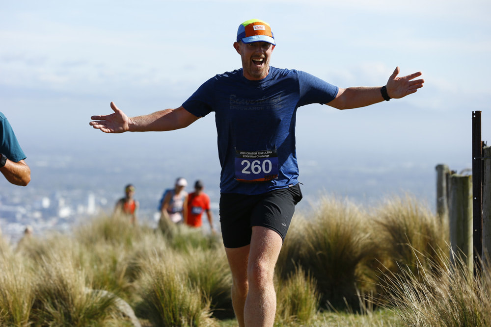
Crater Rim Ultra
  • Home
  • Race Entry
  • Race Info
  • Events
    • Ultra 80KM
    • Crater Rim 53KM
    • Bellbird Buster 30KM
    • Kiwi Challenge 22KM
    • Rapaki Rumble 10KM >
      • 10km Training Plan
    • Hansen Park Dash
  • Photos
  • Results
  • Merchandise
  • Videos
  • Coaching
  • Volunteers
  • Contact
  • Community

Kiwi Challenge 22KM - RACE INFORMATION

Please carefully read this race information. It contains important information about the race.
Online Race Entry

Race Briefing - 9:15AM, Hansen Park

Race briefing is at 9:15AM at Hansen Park, race headquarters. This is also the location for your race start and finish line.

Race Start - 9:30AM, Hansen Park

Your race start and finish line are on the flat at Hansen Park before commencing the trail running portion of the course.

Recommended Gear List

The recommended gear list is here for your protection and safety. Depending on the weather conditions, a decision will be made before 1:00pm Saturday 15th October by the Race Director so all runners collecting their race packs will know whether they should prepare gear list A or B for Sunday.

​Recommended Gear List A​
  • Water proof jacket
  • ​Long sleeve thermal top (wool/polypropylene)
  • Thermal long johns (long thermal pants)
  • Thermal hat
  • Thermal gloves​
  • ​Ziplock bag for personal rubbish
​
     Recommended Gear List B
  • Water proof jacket
  • Ziplock bag for personal rubbish

Aid & Water Stations, and Toilets

The locations of aid / water stations are as follows for the Kiwi Challenge event:

  • TV Communications Tower carpark - approx 9km in
  • Top of Rapaki/Summit Rd  - approx 13.5km in
  • Hansen Park - finish line!

If the conditions are very hot, we will look at a water (only) station at the Montgomery Spur/Rapaki track junction (or thereabouts). This is approximately 3km from the finish line and only if the Race Director considers that the conditions warrant it.

Aid stations will contain the following (subject to change):
  • Water
  • Tailwind Nutrition in cups (bladders and bottles not be filled)
  • Flat Coke
  • Lollies
  • Pineapple and Watermelon (subject to availability)
  • Oranges and Bananas
  • Chips

If you would like to know more about Tailwind Nutrition NZ head to their Facebook page or website:
http://www.tailwindnutrition.co.nz/

Toilets will be available at the following locations:​
  • TV Communications Tower carpark
  • Top of Rapaki/Summit Road
  • Hansen Park

Timing Mats

All runners must pass over all timing mats to collect their finisher’s medal and for safety out on the course so we can monitor where people are. No timing mat recorded = no finisher’s medal!

​
For the 22km event, timing mats will be at the following locations:
  • Sign of the Kiwi
  • Top of Rapaki/Summit Rd 
  • Hansen Park start/finish

Race Course & Maps

NOTE: Map indicative only and subject to change. 
​
To view this map including 3D elevation views, total elevations and other information, you can click the following link to open using MapMyRun.com:
Full Map View
Picture

Course Description

NOTE: All runners must be at start line at 9.15AM for compulsory race briefing. 

All runners must be ready on the grass in front of the Port Hills Club rooms located at Hansen Park for a 9.30AM start.

Head out and around the basketball area and after being guided to turn left, follow the concrete path along to the Aynsley bridge (at 800m) crossing right out onto Aynsley Terrace and follow this footpath which  leads on towards the local Scout Den. Runners turn left and left again around scout den (follow course marker ribbons/signage) which then brings the runners out onto Centaurus Road.(Major road crossing/marshal area here)
​
Cross over Centaurus Road (controlled marshal area here) and runners must turn right to stay on footpath along Centaurus Rd. to Hillsborough Tce.
Runners turn left here and must stay on footpath along Hillsborough Rd and follow path past the Mt. Vernon car park and upwards on road until you get to start of the Mt. Vernon trail track(Marshal stationed here). CAUTION: this short road is open to all/any traffic.

Runners will then have 2.5KM ascent up Mt Vernon Farm Track.  This is a continuous steep 4WD track/climb up over farmland property. At the end of the ascent runners will reach Summit Road.Follow marshals instructions and cross Summit Road safely and turn right onto the Mt Vernon MTB trail. Watch for bikers as this track is open to all public.

This is an undulating climb on a MTB trail which takes runners up and over to Bowenvale Reserve and Huntsbury Track (cross Summit Rd here - follow marshals directions here).

Take the Bowenvale MTB Track that veers towards the left.  This trail track runs just below the Summit Road.
Follow this track with the Summit Rd still  on your left above the trail track you are on towards the Sign of the Kiwi.

Following the MTB trails/course marker ribbons, (Thomson track), marshals will guide runners onto the correct trail tracks to reach the intersection at Sign of the Kiwi, Dyers Pass Road and Summit Road.(Approx 9k to here) Cross the Summit Road here where Aid Station 2 is set up. Toilets available across Dyers Rd at Sign of the Kiwi. Caution runners if you cross Dyers Rd here. 

Head up the stairs back onto the trail.  Approx 700m of ascent on Cedrics Track has runners reach the Sugar Loaf Car Park.  Well known trail tracks that runners will pass along their way on their right are Mitchells Track and Gilpin’s Track. Stay left on trail and follow marker ribbons. Continue heading up and across the Sugarloaf car park (Marshals here to guide you) which then reconnects back up onto the Crater Rim trail track which is above the Summit Road.  This trail meets up at the end of Gilpin's Track, turn left and back onto the Crater Rim Trail.

Follow the Crater Rim Trail for approx 2.3KMS. NOTE: Summit Road will now be on your left side. The 2.3KMS takes runners through trails which have some short sharp ascents in them.

Runners will find themselves back on the shared MTB trail as it makes its way around the lower slopes of Mt Vernon towards the Rapaki Track/Summit Rd. 
Runners will continue on the trail to the Top of the Rapaki Track/Summit Rd where a marshal will guide you across Summit Rd as you make your way down the Rapaki Track.NOTE Aid station/Timing mat will be available here. Tandem mobile toilet stationed here.
 

CAUTION Runners: Summit Rd is open to traffic here.

Stay left as you descend down Rapaki track as bikers also descend down this shared trail track.
At approx 1.5k down Rapaki track runners will see marshals guiding you onto Montgomery Spur trail/bike shared track. Follow marker ribbons /signage and do a clockwise loop of Montgomery Spur track.
Please note.
We will have marshals checking runners off to ensure no short cuts/lost runners over this section.
Once you have completed the 4k loop you will be shown the way back down Rapaki Track.

Once at the bottom of Rapaki Road, turn left, cross Vernon Tce and stay on footpath to run along Centaurus Rd. footpath to Centaurus Rd.  crossing (opposite Scout Den) provided by marshals/Traffic Management and back through Scout Den and turn right at river back onto the trails through to Aynsley Terrace. From here return left back over the Aynsley River bridge and back into Hansen Park again turning left.

Runners to make their way back towards the finish line chute along the same pathway/course you followed at the beginning of your race.          
                                                             
22.4KMS approx. - Job done!!!
Picture
Picture
Picture
Picture
Picture
Picture